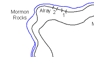
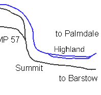
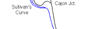
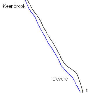
As a complement to the Railfanning Guide to
the Pass here you can find detailed USGS topo maps for the Cajon Pass area. Just
click on the location name and you'll get the appropriate map.
All maps are courtesy of
Explore our homepage, learn about Cajon Pass and its history and, if you're interested, subscribe to the Cajon Pass Group.