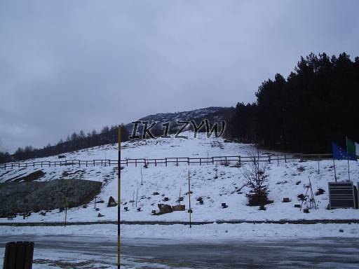
The way up from Colle del Lys parking (2006). Stay under trees until the beginning of the trail is found.
When:
Bands used: VHF 2.5W
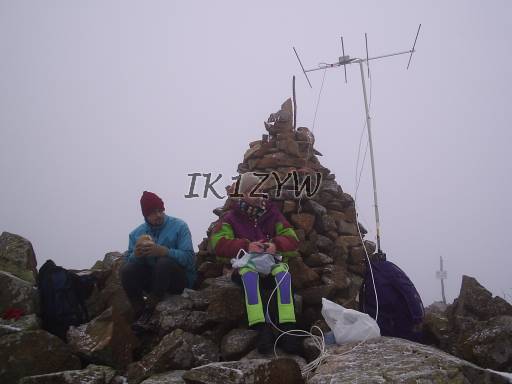
Antenna: VHF 4 el. short yagi by DK7ZB
Open to: East to South
DX: VHF CW 527km (Winter)
Facilities: some trees nearby the top can be used as supports for wire antennas. For VHF use, bring your own mast.
Comments: easy to reach by car (60' from Torino) and 45 minutes walk. Hike from Colle del Lys [45°10.686'N; 7°22,972'E; 1319m]. In 2006 operated at minus 5C under a light snowfall, so the location was not so welcoming for further experiments. In 2007 it was a warm sunny Winter day with wonderful panorama (see video part 1). The summit is made of large stones, easy to sit, hard to erect an antenna.
GSM coverage: Vodafone NO.

The way up from Colle del Lys parking (2006). Stay under trees until the beginning of the trail is found.

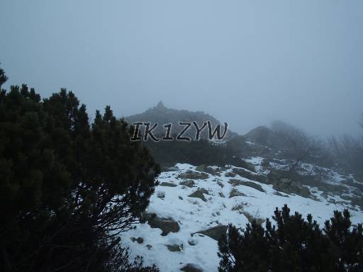
The top is long, this is the view towards the rocky top from the first point at 1603m (2006).

Operating from the very top in a windy snowfall (2006).

Eccetto dove diversamente specificato, i contenuti di questo sito sono rilasciati sotto Licenza Creative Commons.
The material on this page is licensed under a Creative Commons License, unless otherwise noted.