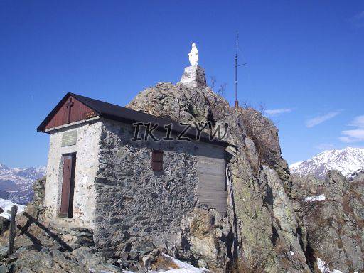
The little chapel on top (view to W-NW)
When: 12 February 2006, Contest Lombardia VHF
Bands used: VHF 2.5W
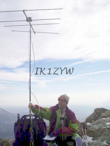
Antenna: VHF 4 el. short yagi by DK7ZB on PVC boom
Open to: N to S through East
DX: VHF 333km (Winter)
Facilities: for VHF use, bring your own mast. Can be tied to the wodden fence in front of the chapel
Comments: easy to reach by car (60' from Torino) and 1h15 walk. Hike from frazione Comba of Celle [45°08'02.4"N 7°20'38.9"E 1071m] following one of several trails that go up. We picked "Tramontana", that is identified by blue signs. Relevant GPS waypoints: [45°08'12.5"N 7°20'41.1"E 1146m] [45°08'18.4"N 7°20'38.8"E 1200m]. Operated under a warm February Sun. The top is some 5x5 meters, and it was somewhat crowded. Probably better to operate from a peak on the right-hand side of the trail: less comfortable but less disturbing for other hikers.
GSM coverage: not checked.

The little chapel on top (view to W-NW)

View to E-SE

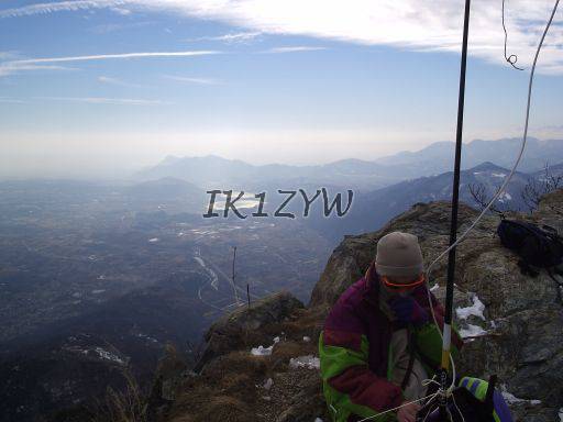
View to SE

Eccetto dove diversamente specificato, i contenuti di questo sito sono rilasciati sotto Licenza Creative Commons.
The material on this page is licensed under a Creative Commons License, unless otherwise noted.